Alpine Passes
Routes across the Alps
Photograhphs from the two books “Alpenpässe – Magical Routes across the Mountains” and “Passbilder – Landscapes of the Alpine Passes”, which I conceived together with Eugen E. Hüsler – one of the foremost experts on the Alps.
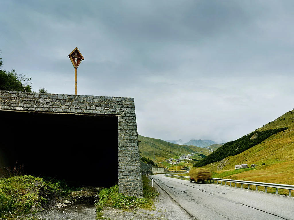
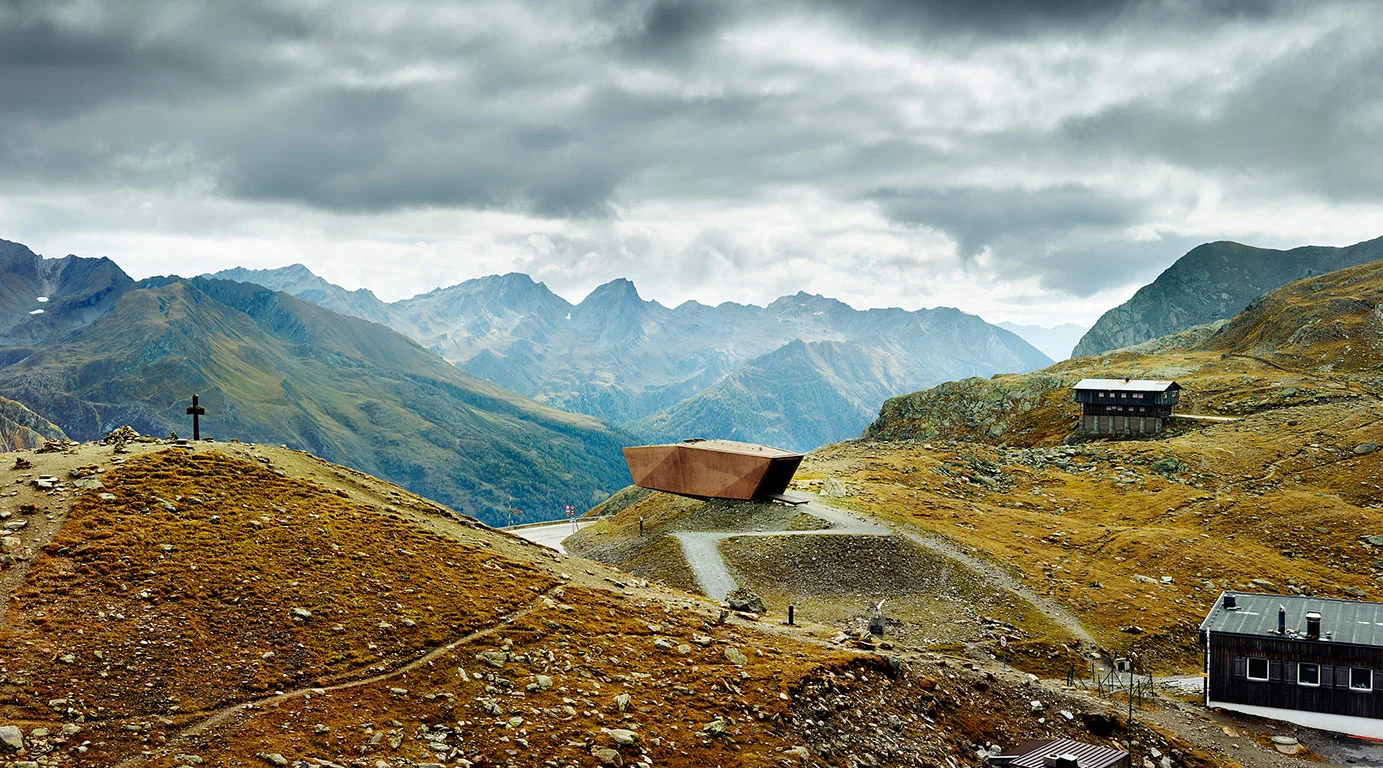
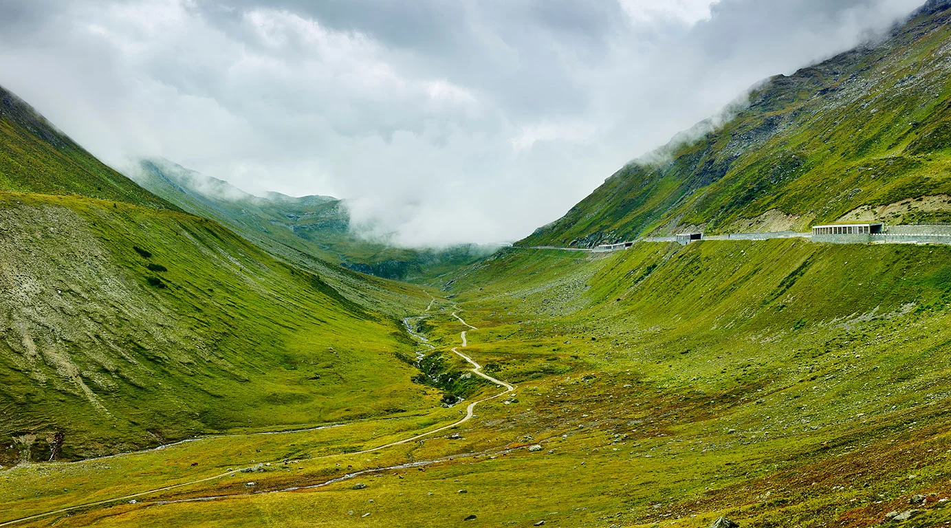
For many years, I have been exploring the landscapes and history of the Alpine passes through my photography. Each pass is shaped by the topography of the Alps, has a distinctive character and its own history. In both books, we showcase the major passes, but we also devote considerable attention to less-travelled routes such as the Strada Militare 79 on Monte Jafferau, the Cormet de Roselend and the Colle del Nivolet, which boast equally captivating scenery and often a more surprising history.
For centuries, people have been crossing the Alps: they transported goods, went to war, paid their respects to the Pope, were crowned emperors in Rome, sought work and happiness elsewhere, or travelled to the warmth of the sun. Mobility has always been part of everyday life in the Alps. And it remains so to this day. Paths were cleared, roads built, tunnels dug and bridges erected. Some routes were used so frequently that they became established over time. The Alpine passes bear witness to this centuries-old history of movement and migration.
Hardly anyone can resist the fascination of the ‘Queen of the Passes’ once they have reached the summit of the Stilfser Joch after navigating the countless hairpin bends of the eastern approach. The experience of cycling along the long Ligurian border ridge road can also captivate you for a lifetime, and the view from the south-eastern approach to the Col de la Bonette leaves no one unmoved.
What is it that fascinates us so much about the Alpine passes? In the Tour de France and the Giro d’Italia, the mountain stages crossing them are among the most popular routes of all. To this day, the passes exert a magical pull on cyclists, walkers, motorcyclists and motorists alike. For me, part of the answer lies in what each pass reveals: the traces of centuries of human activity, etched into the landscape. From the mule track to the tarmac hairpin bends on the Stelvio Pass.
In his writings, Eugen Hüsler tells the story behind each pass; my photographs seek to bring these traces to life.
A collection of images from both books.
The Western Alps
The mountain passes of the Western Alps in France and Italy – in the mountain ranges of the Maritime Alps, the Ligurian Alps, Haute-Provence, the Cottian Alps, the Dauphiné, the Graian Alps and Savoy.
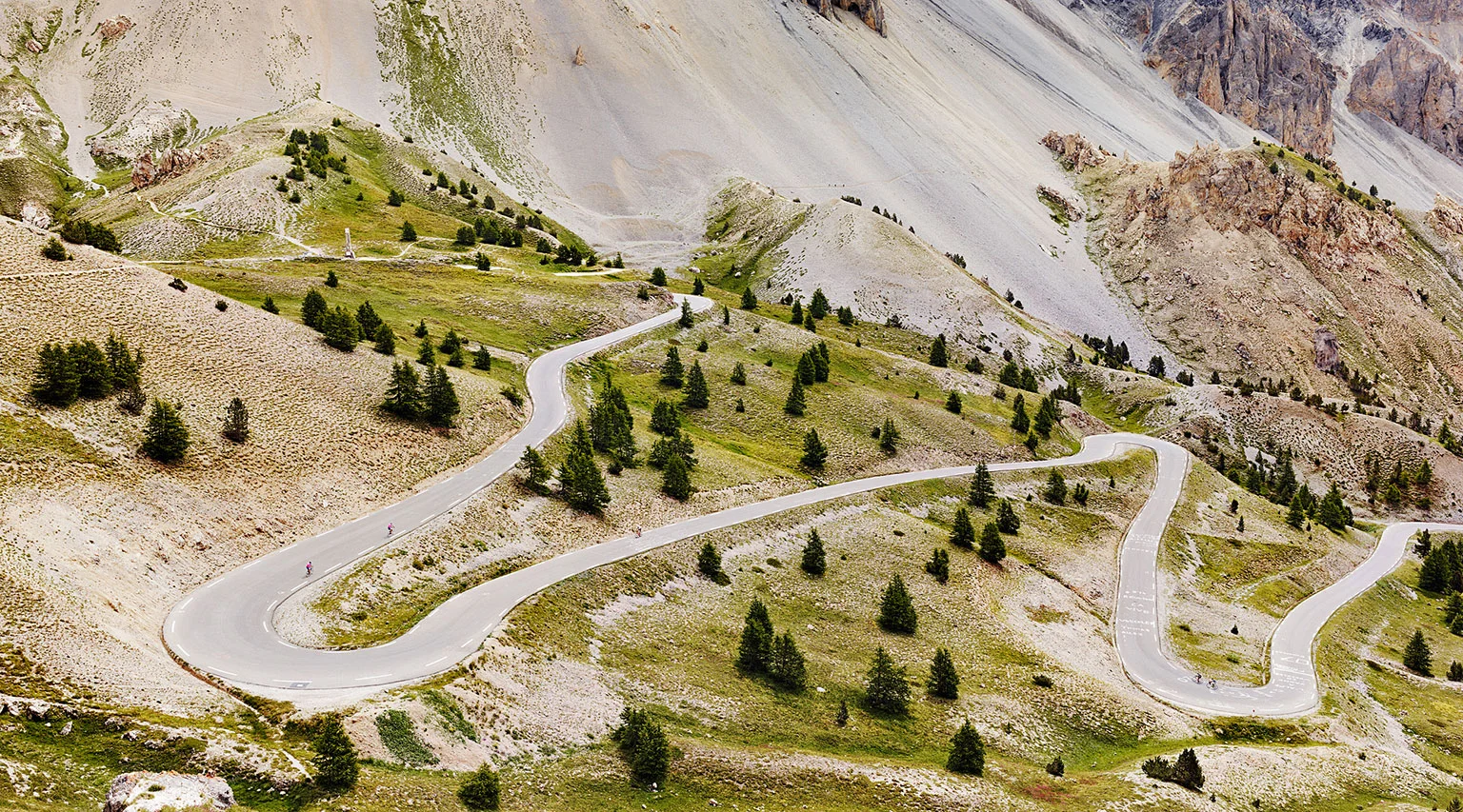
Col d’Izoard, Cottian Alps, France
The southern approach crosses this barren and fascinating landscape just above the Casse Déserte. I took the photograph a few days after the Tour de France race. I wanted to photograph the traces of the bike race visible on the asphalt, but without crowds of people and all the parked camper vans along the road.
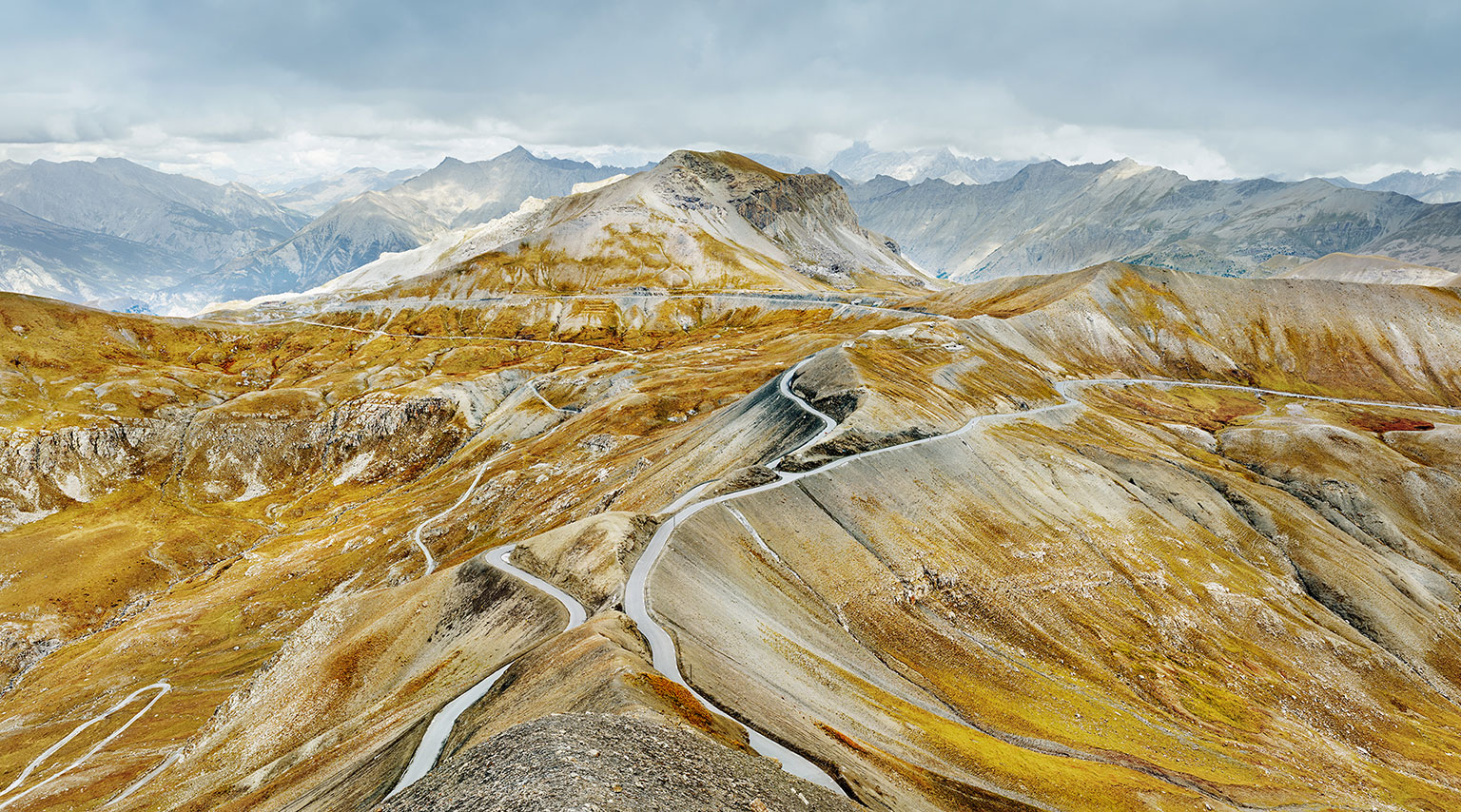
Col de la Bonette, Maritime Alps, France
View over the top of the pass – it is the rock cut at the intersection of the four roads in the centre of the photograph at 2715 m above sea level. The south-east ramp branches off to the right, the north ramp to the left. The ring road begins here, circles the Cime de la Bonette at 2802 m and thus becomes the highest through road in the Alps.
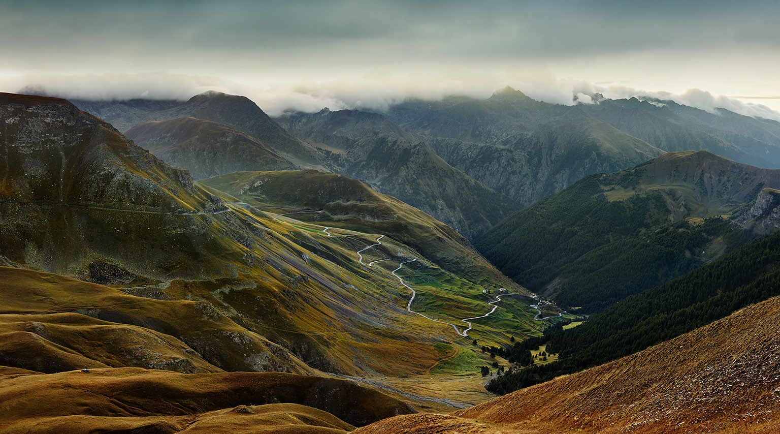
Col de la Bonette, Maritime Alps, France
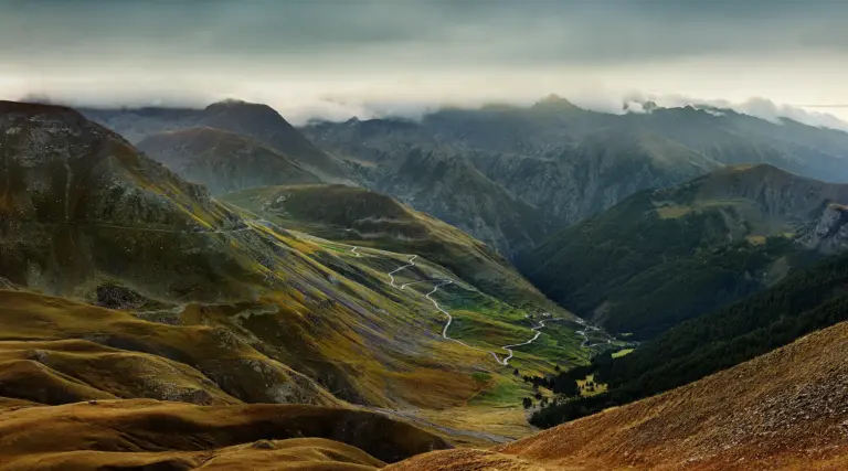
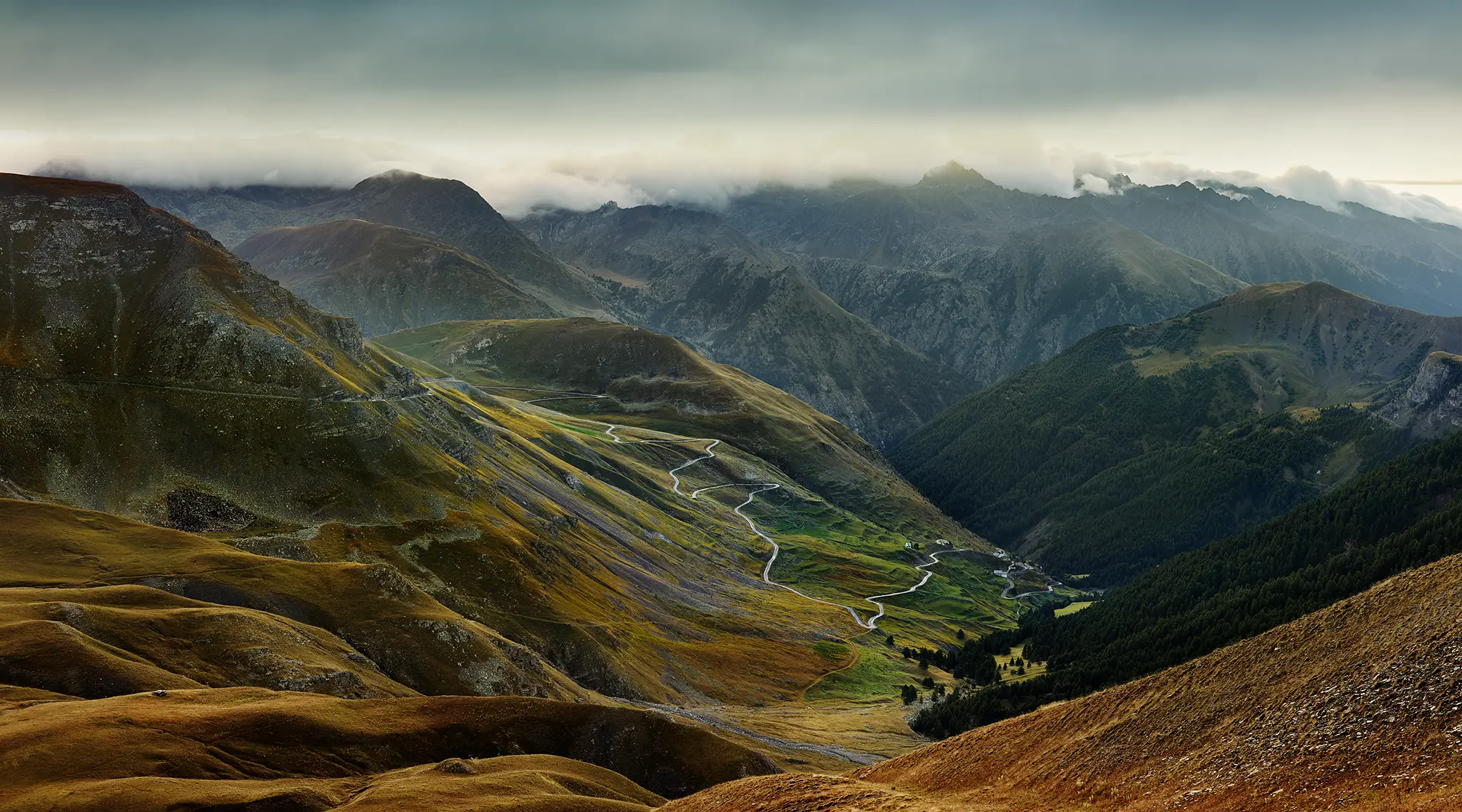
View of the south-eastern approach in the first morning light. One of my favourite photographs from this series. I wanted to photograph a view that gave a good view of the upper section of the pass along the Cime de Pelousette escarpment, together with the winding road below Mont des Fourches. The road passes through the hamlet of Bousieyas and leads down to the Tinée valley.
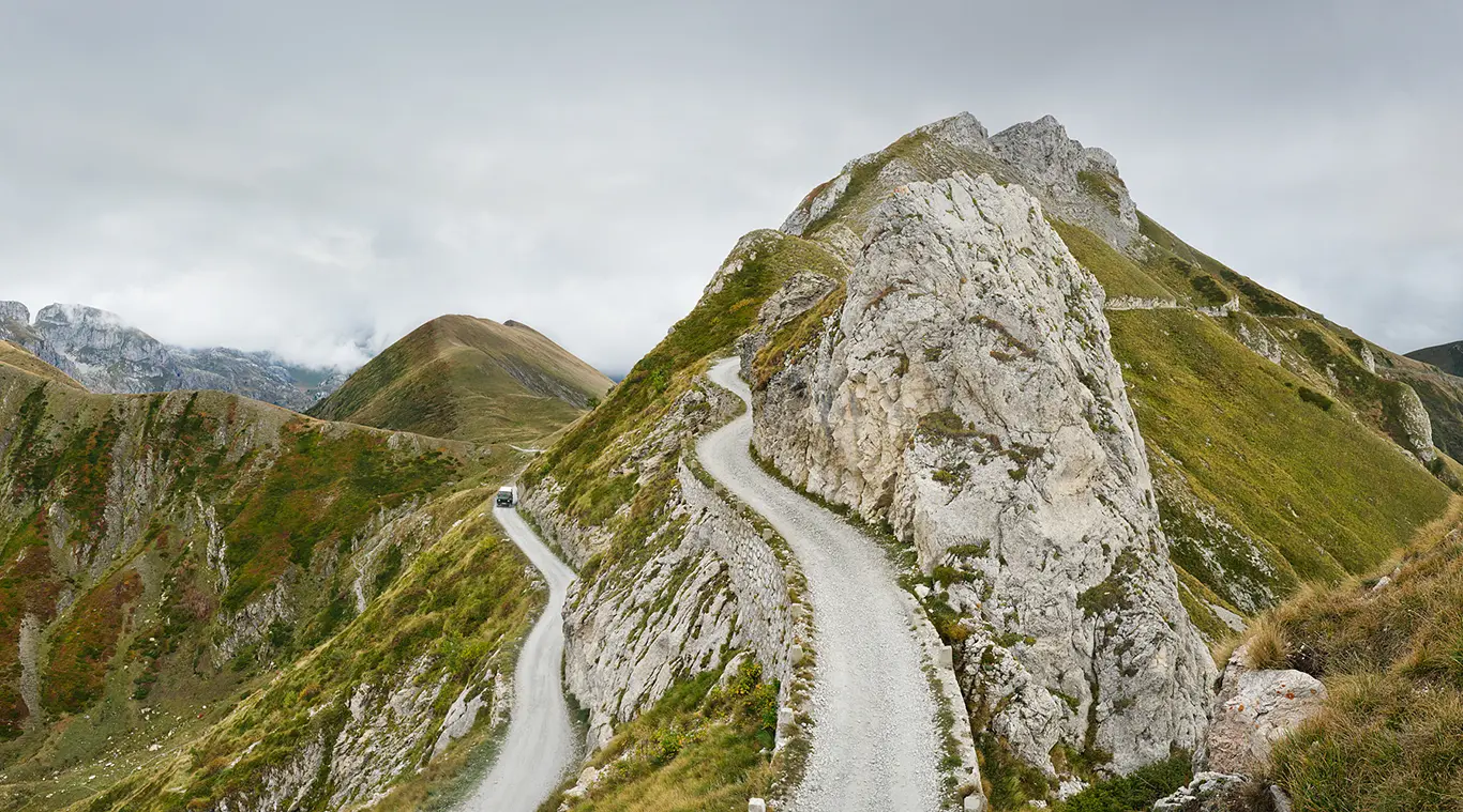
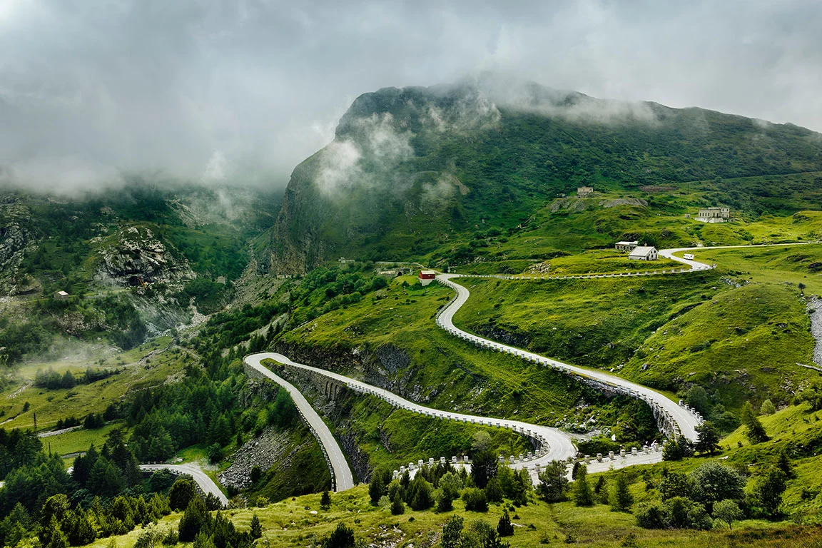
Colle della Boaria, Italy / France
The Tornante della Boaria, a stone-built hairpin bend at an altitude of around 2,100 metres, lies on the Ligurian Border Ridge Road. As the rock here drops too steeply to allow the bend to be blasted into the mountain, the Italian military built a retaining wall at the end of the 19th century – wide enough for a horse-drawn carriage carrying artillery. The road was used to transport heavy artillery to the fortresses along the border ridge and was further extended under Mussolini in the late 1930s as part of a fortification system.
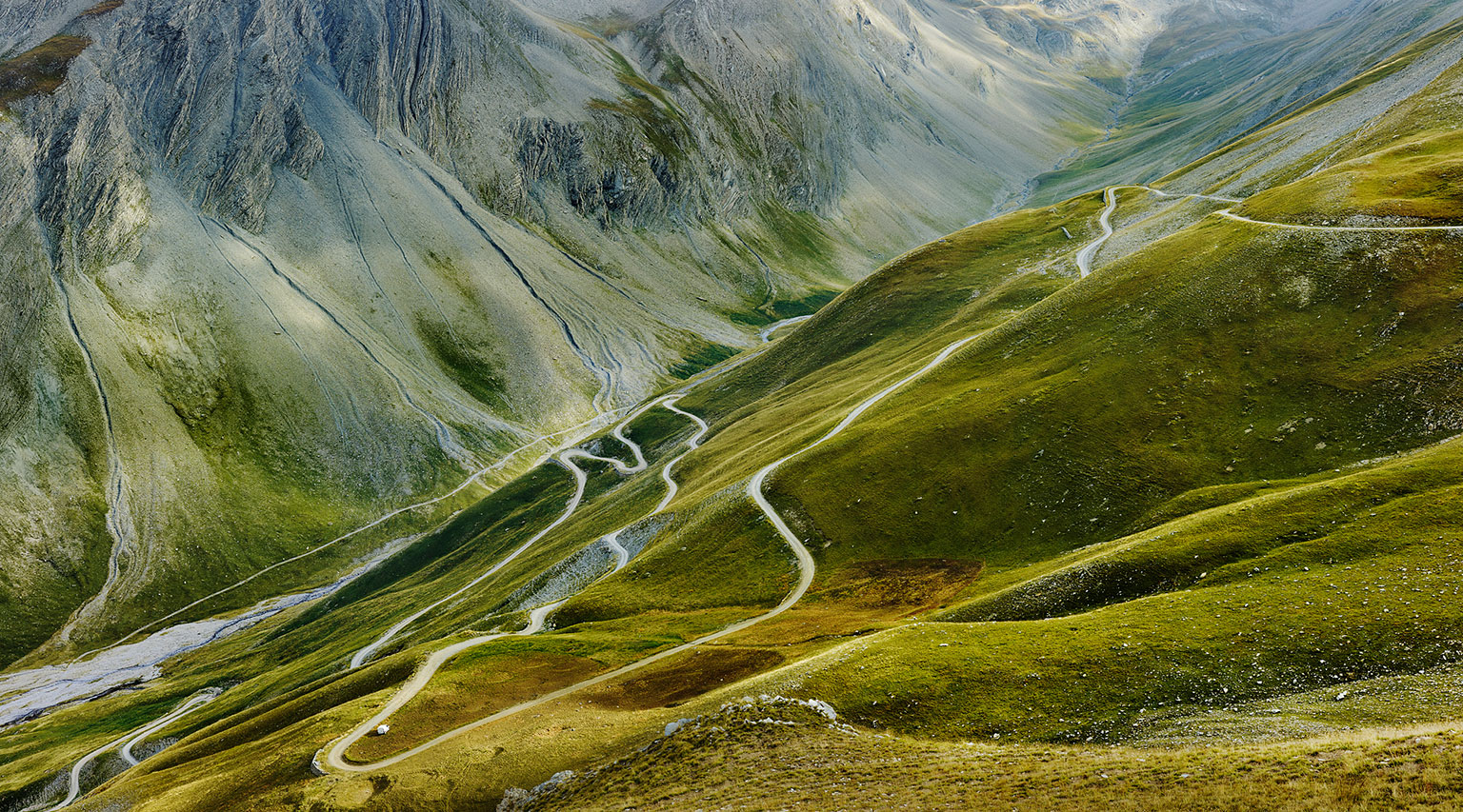
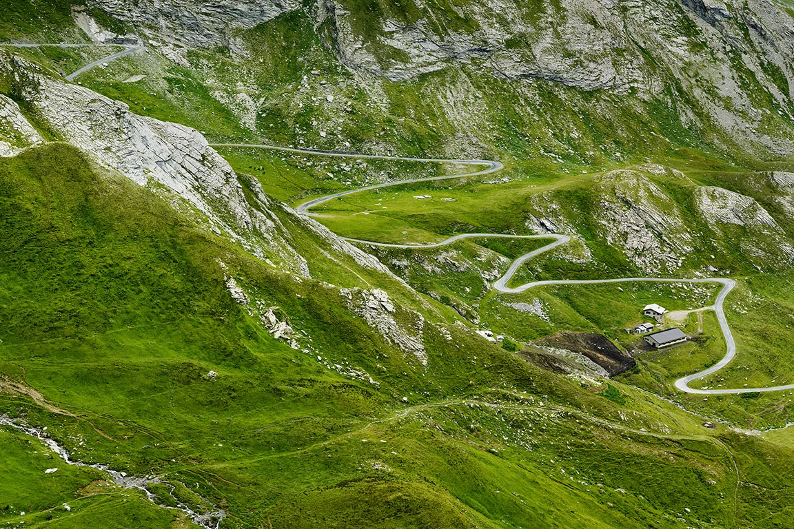
Col du Parpaillon, Cottian Alps, France
South-eastern approach. The landscape on this side of the pass is exceptionally beautiful. Like many passes in the Alps, the road was built by the military – in this case, by the French army between 1891 and 1911.
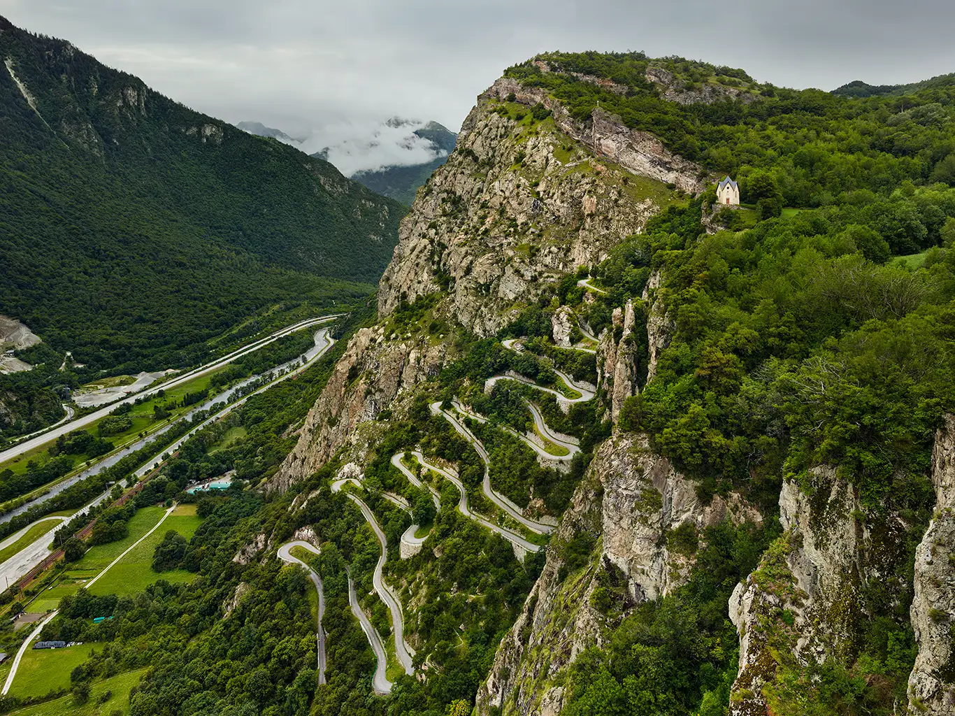
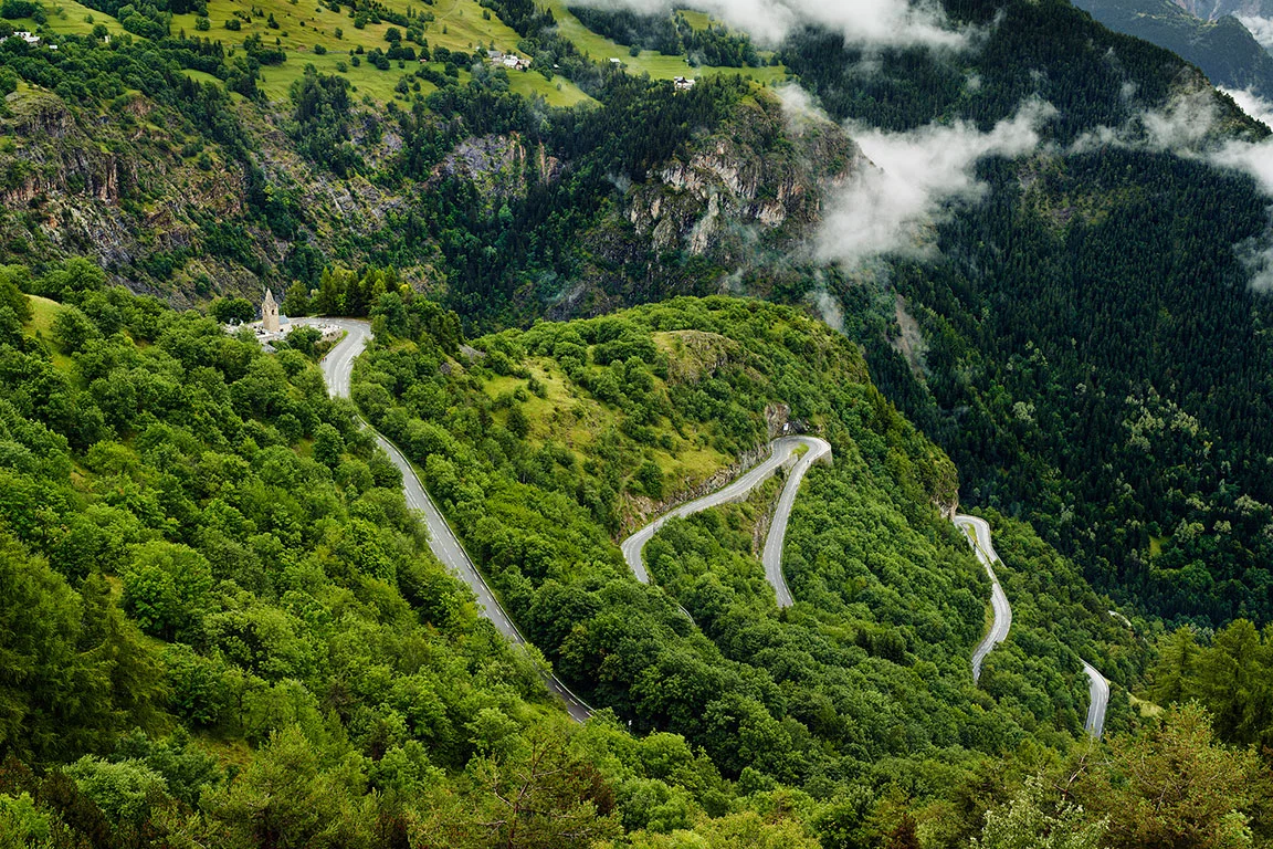
Lacets de Montvernier, France
The serpentines of Montvernier in the Maurienne are certainly one of the most beautiful mountain roads in the Alps. From the valley floor of the l’Arc river, the road winds in a moderate gradient over 17 serpentines to Montvernier, passing the Chapelle de la Balme and finally leading to the Col de Chaussy.
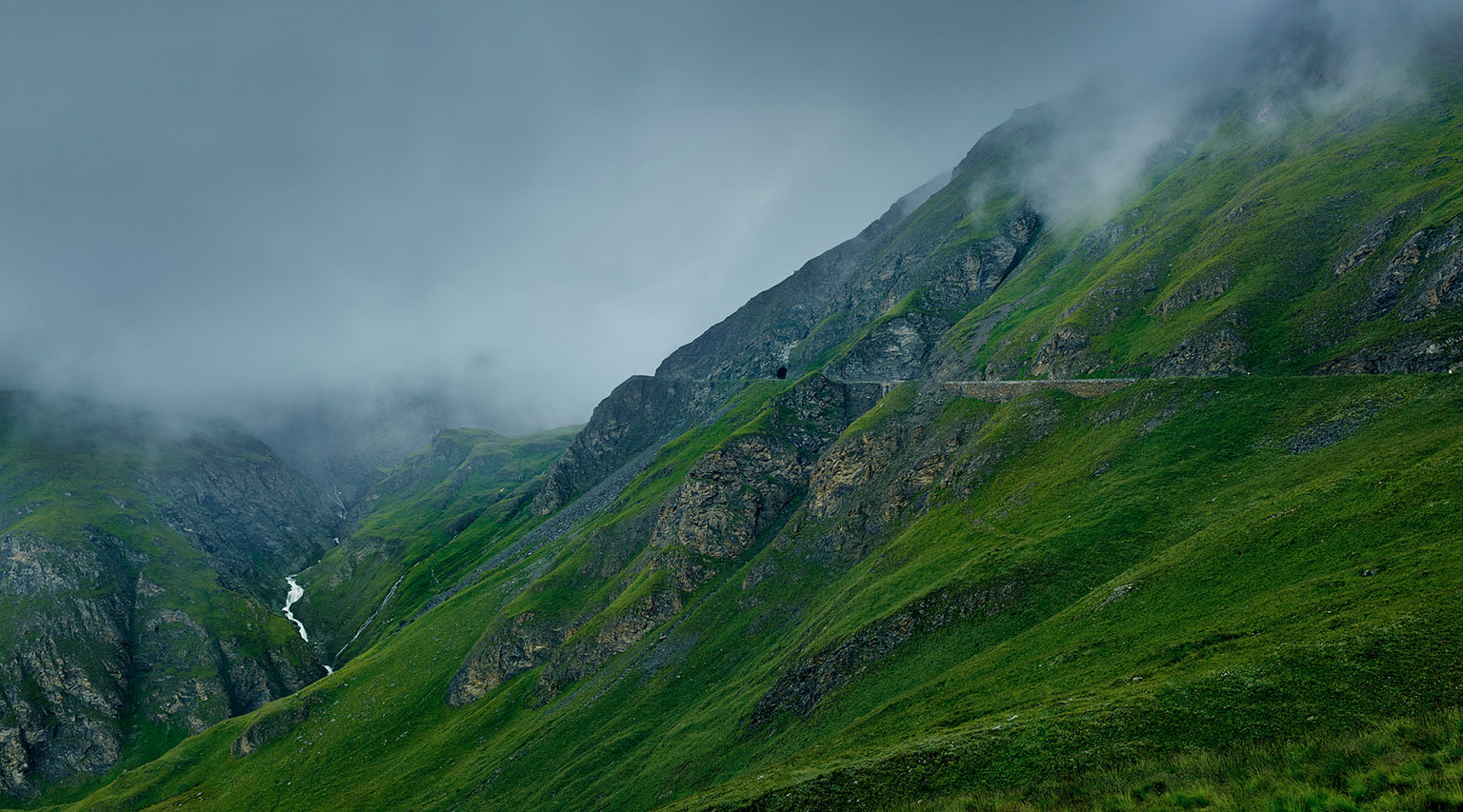
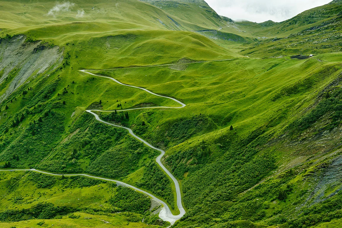
Col de l’Iseran in the Graian Alps, France
For me, the southern approach is one of the most interesting landscapes of the Alpine passes. The road was completed in 1937 and is part of the Route des Grand Alpes. The photograph was taken one evening after a heavy rain shower. I hoped that the rain would stop or subside towards evening and indeed, as I walked along the road on my way back, the cloud cover suddenly opened up to reveal this view of the pass and the Lenta torrent.
The Central Alps
The mountain passes of the Central Alps in Switzerland and Italy. Passes in the Valais and Bernese Alps, Central Switzerland, the Gotthard Massif and the Grisons Alps.
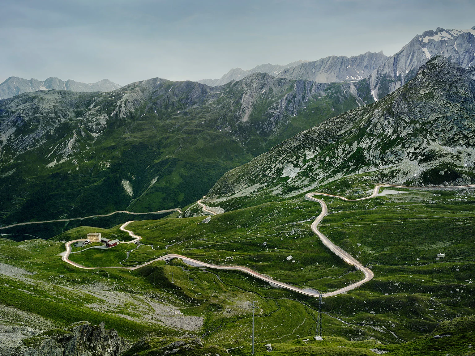
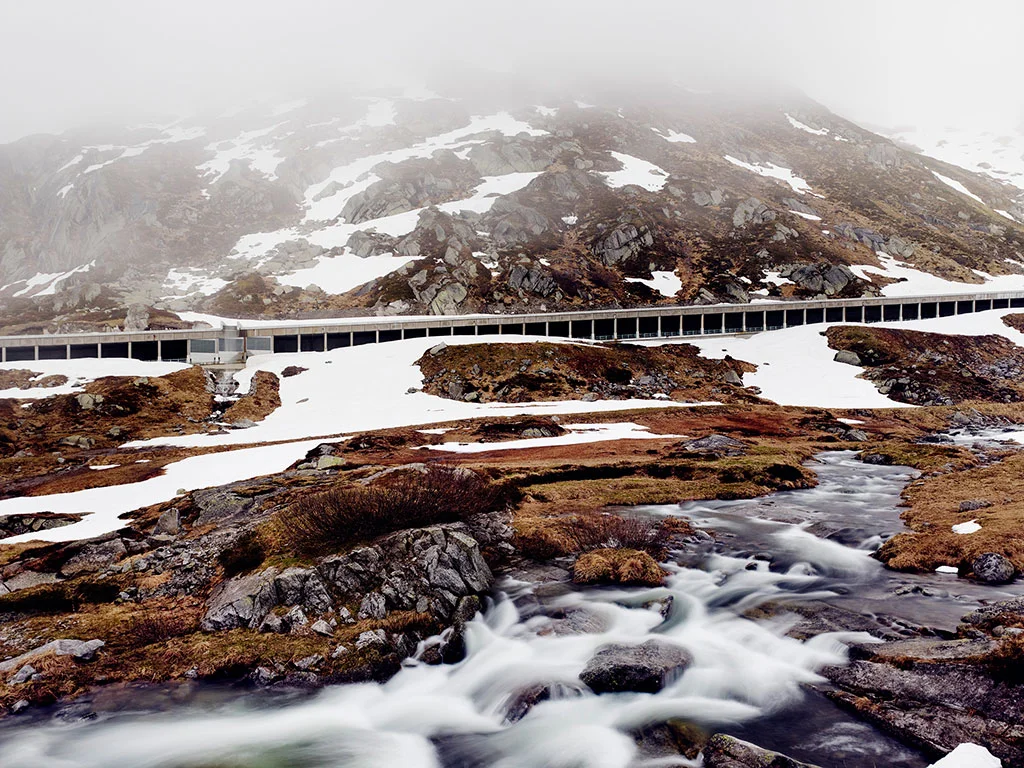
Great St. Bernard Pass, border between Italy and Switzerland
View of the southern approach of one of the most important Alpine crossings between the Swiss Rhone Valley and the Italian Aosta Valley
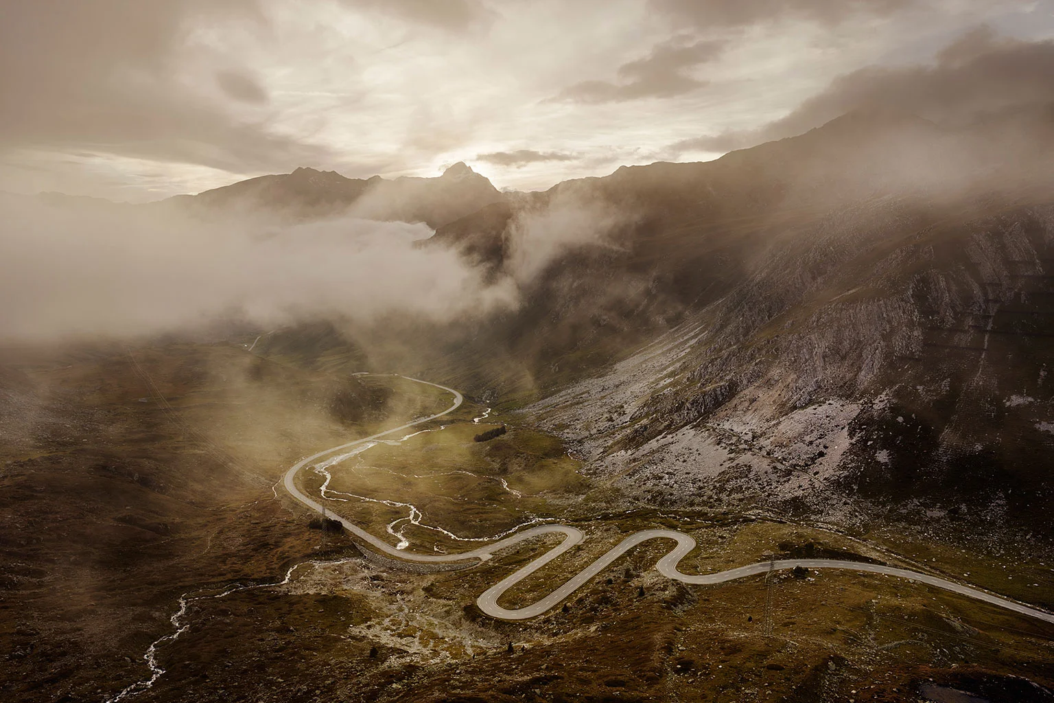
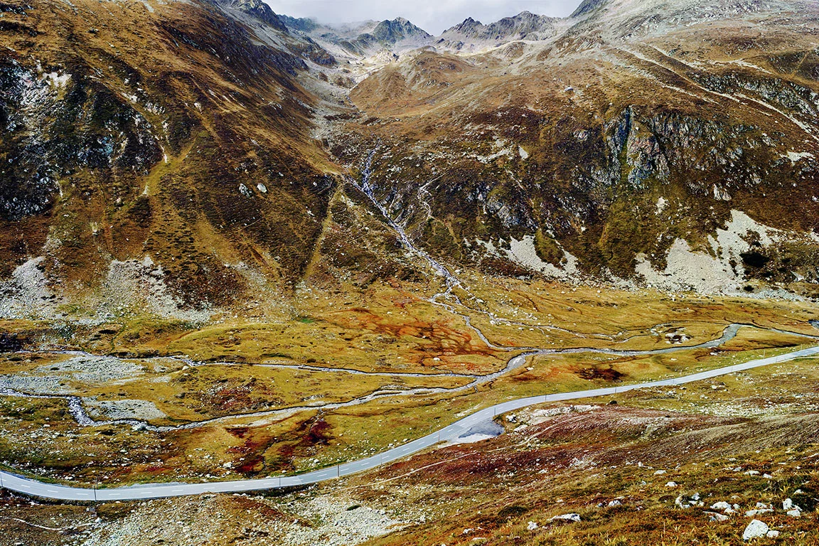
Julier Pass, Switzerland
View of the west ramp – connection between Tiefencastel and the Engadine.
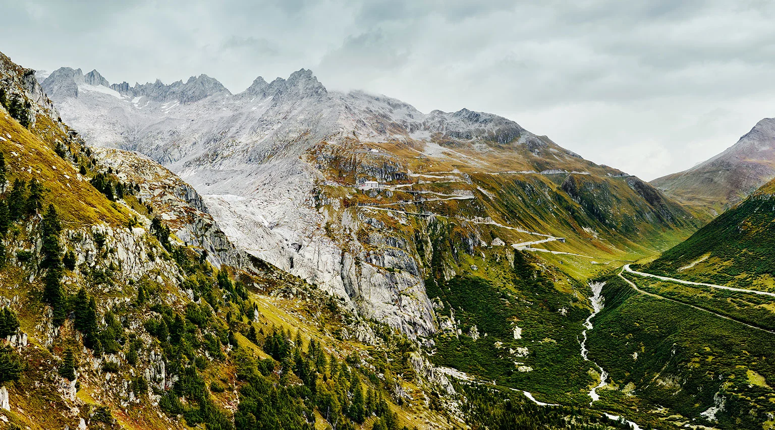
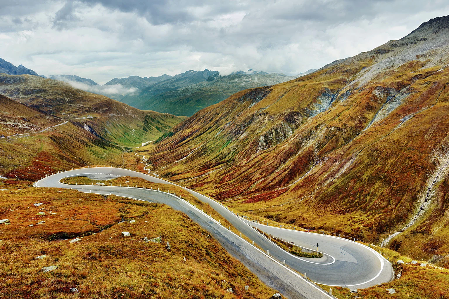
Furka Pass, Switzerland
View of the imposing west ramp and the Rhone glacier. Above the Hotel Belvédère is the Galenhütten artillery works of the Swiss military from the late 19th century, which served to protect the Gotthard fortress.
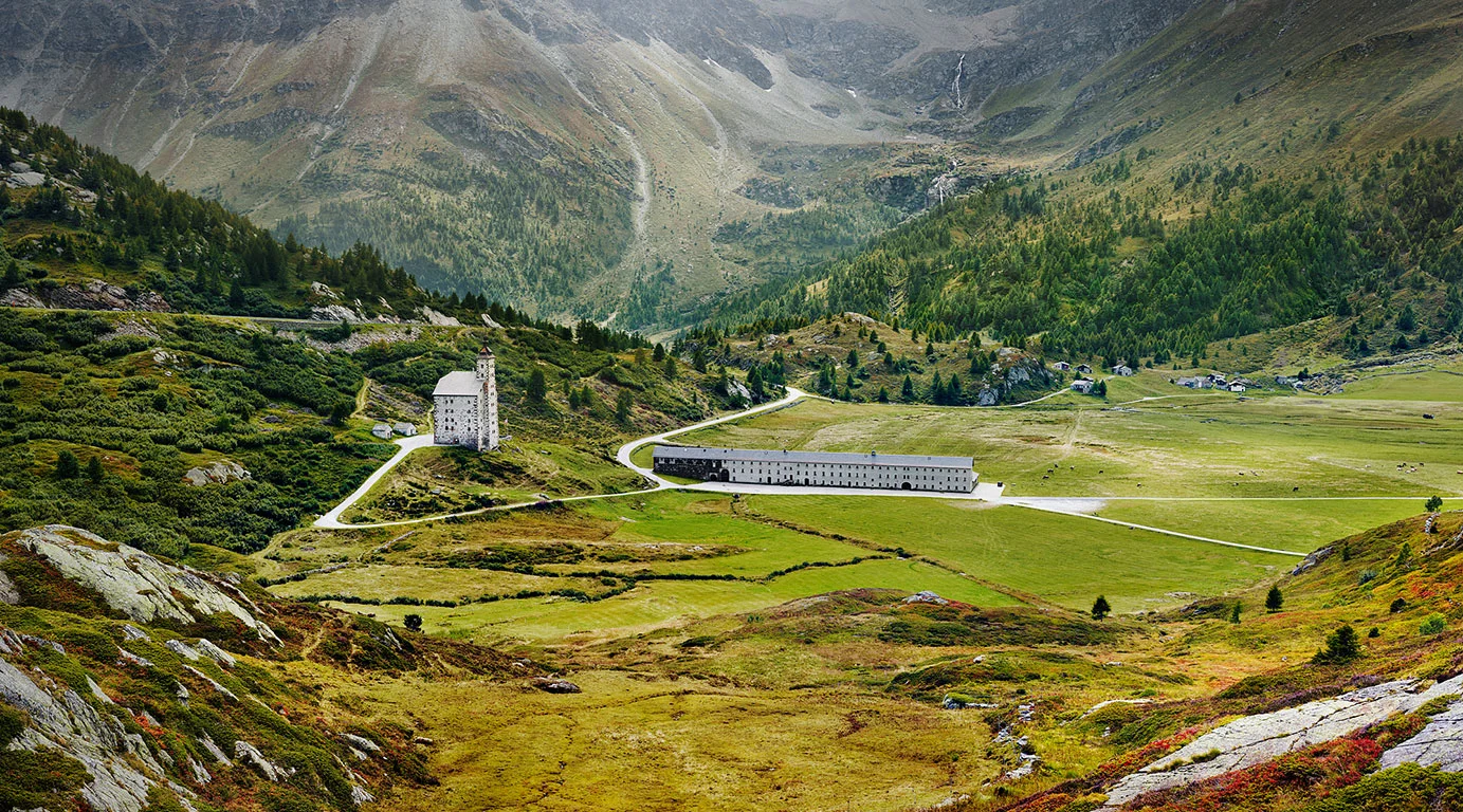
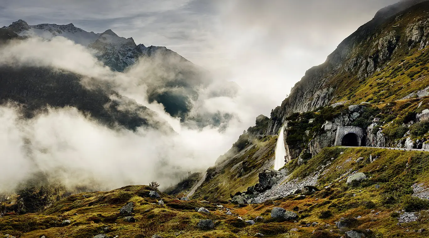
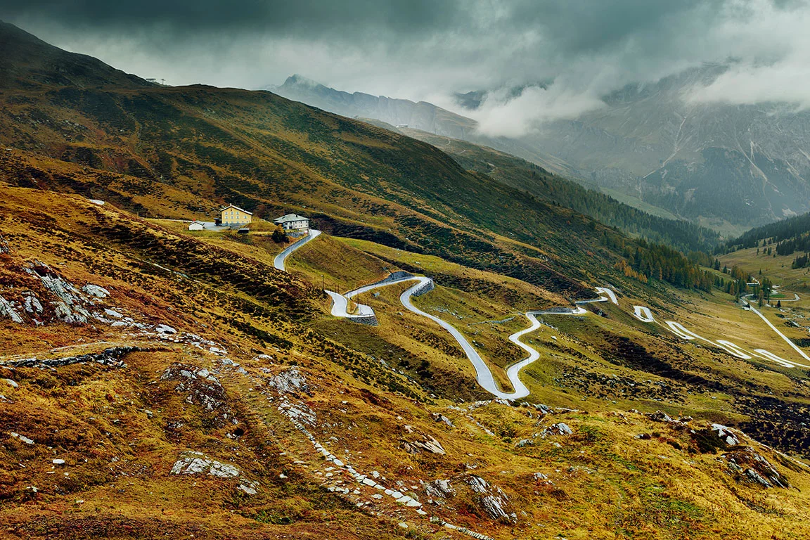
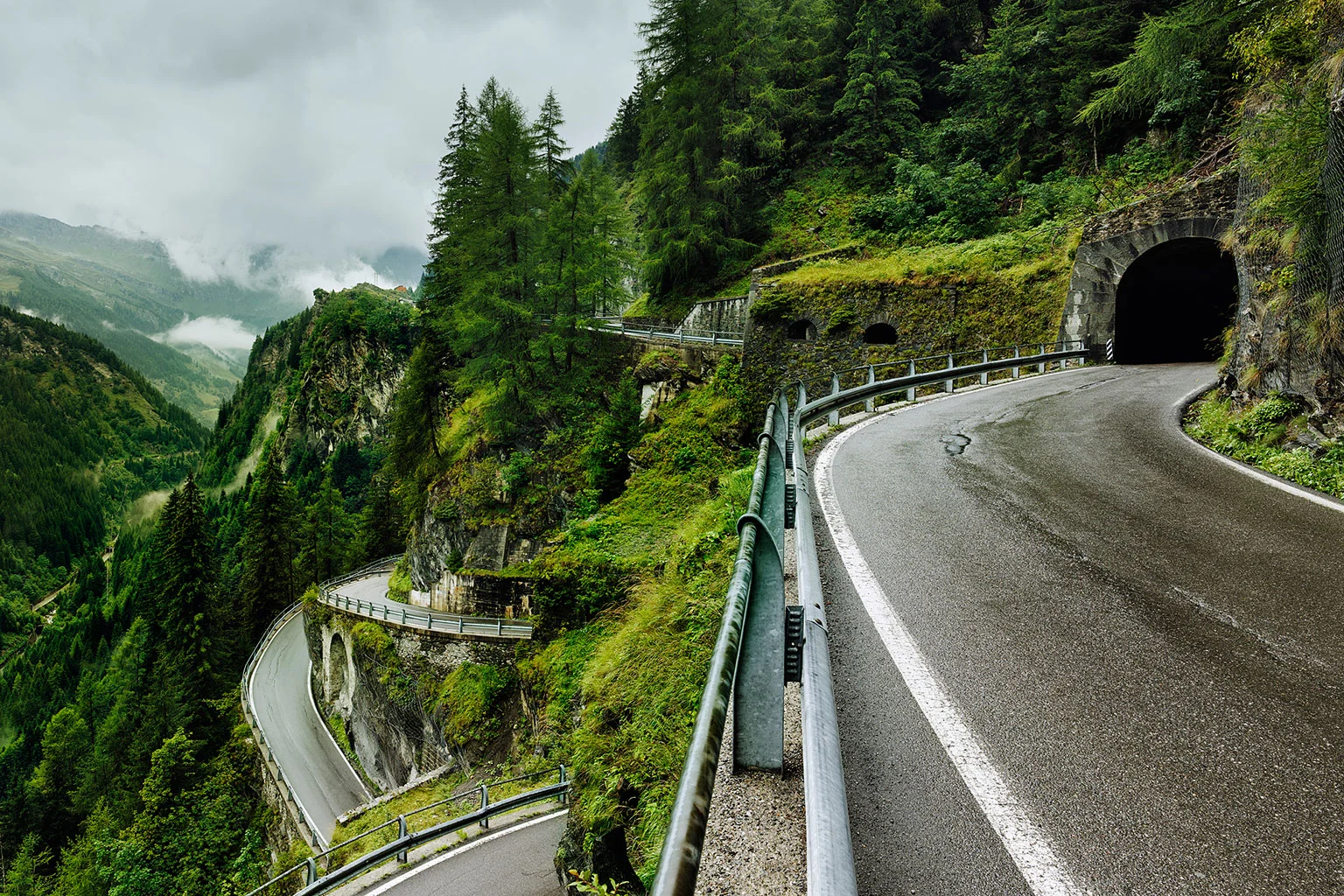
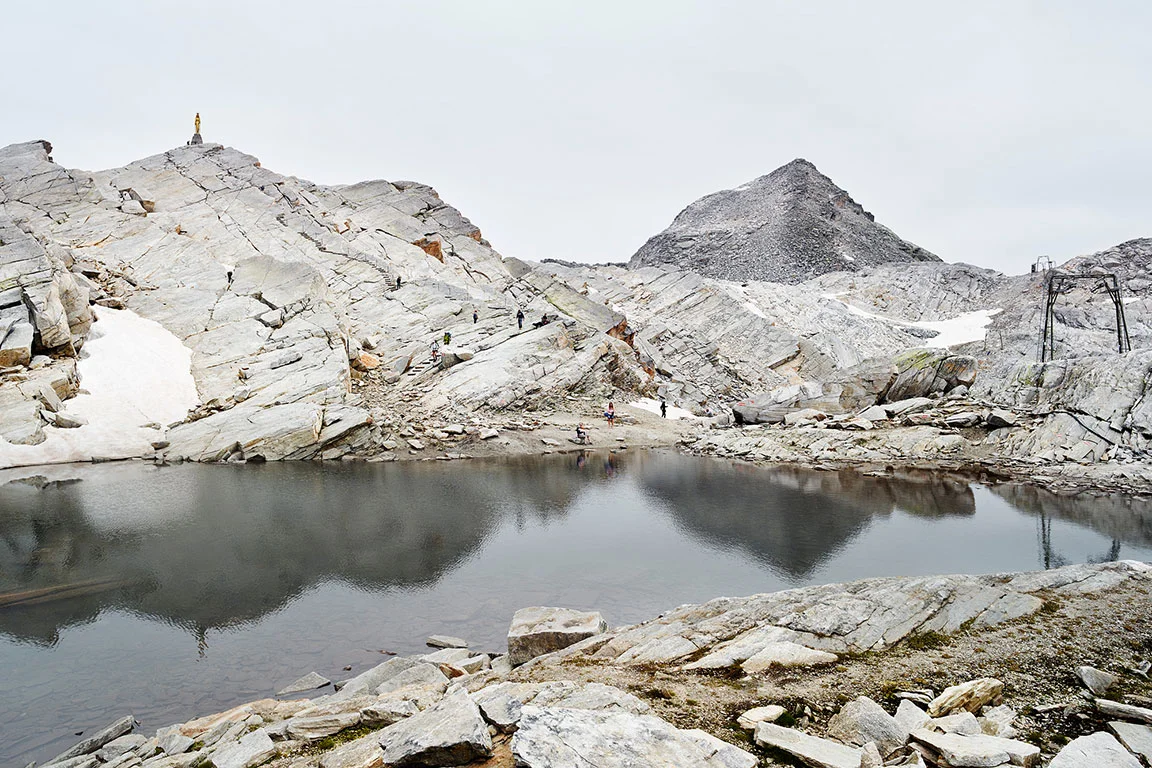
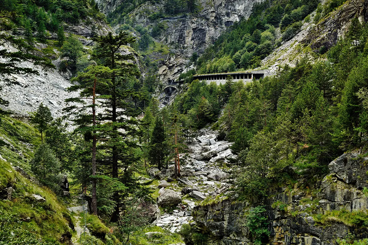
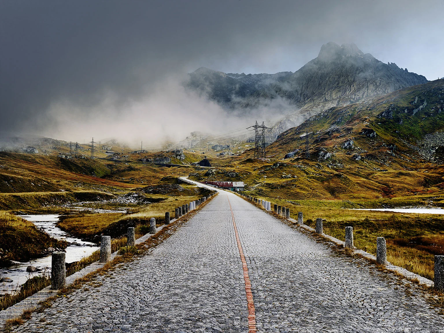
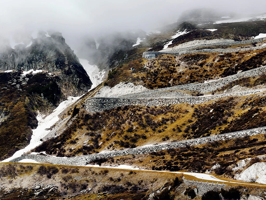
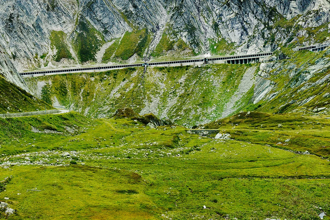
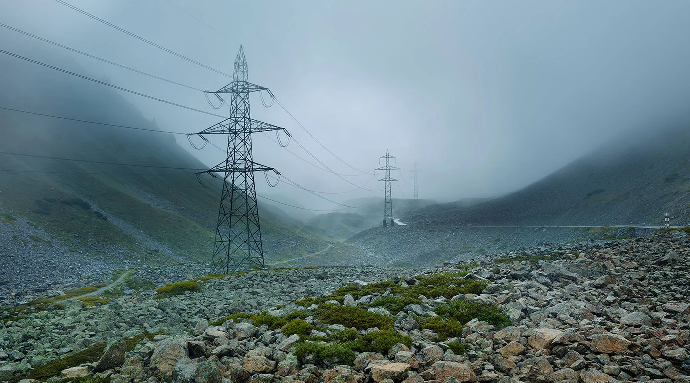
St. Gotthard Pass, Schweiz
Ansicht der alten gepflasterten Straße etwas unterhalb der Passhöhe. Die erste Passstraße über den Gotthard wurde bereits 1830 fertiggestellt.
The Eastern Alps
The mountain passes in Austria, Italy and Slovenia. Passes in the High and Low Tauern, the Ötztal, Allgäu and Lechtal Alps, in Valtellina, in South Tyrol and the Dolomites, in Vorarlberg, in Tyrol, and in the Carnic, Vicentine, Bergamo, Adamello-Presanella and Julian Alps.
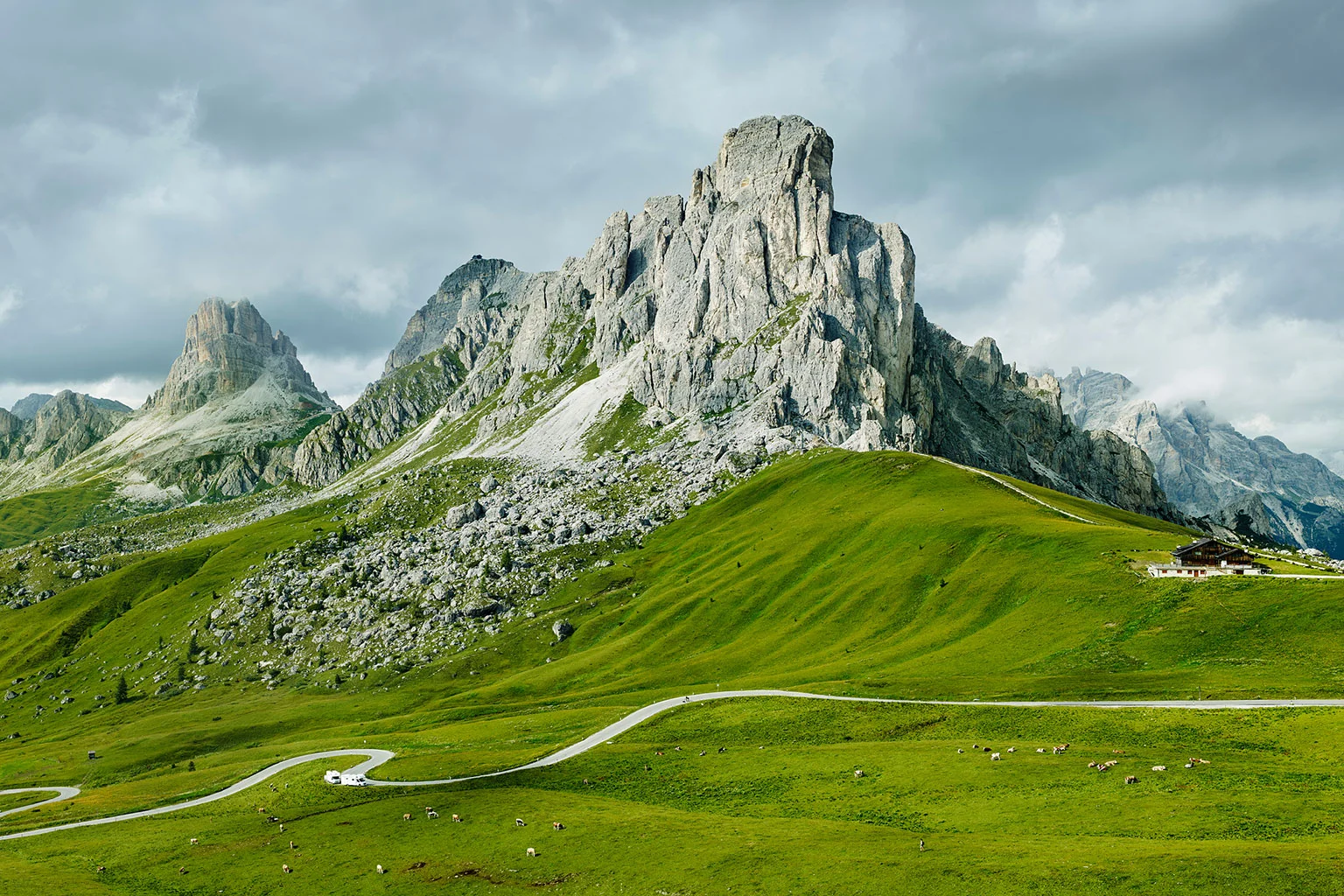
Passo di Giau in the Dolomites, Italy
View of the south-west ramp just below the top of the pass (2233 m) and the mountains Monte Gusela, Monte Nuvolau and Monte Averau
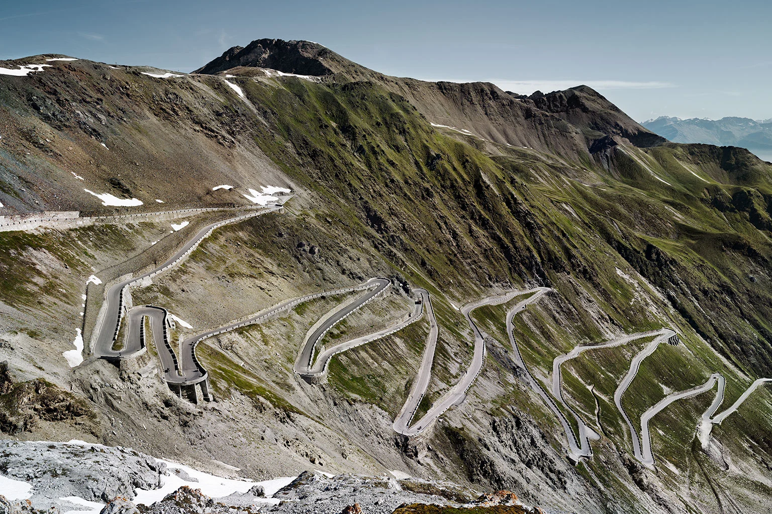
Stilfser Joch – Stelvio Pass, Italy
View of the eastern ramp – the masterpiece of engineer Carlo Donegani. The first road was built between 1820 bis 1826 on behalf of the Austrian monarchy and was intended to connect Tyrol with Lombardy.
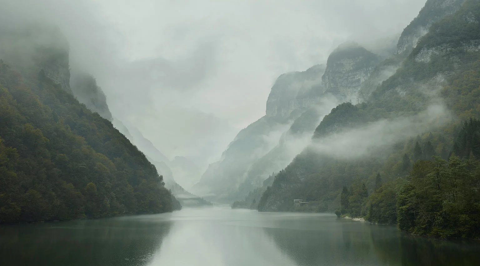
Passo Rolle, Dolomites, Italy
Wonderful wisps of clouds waft over the misty Lago Schener – one of my favourite images of the series.
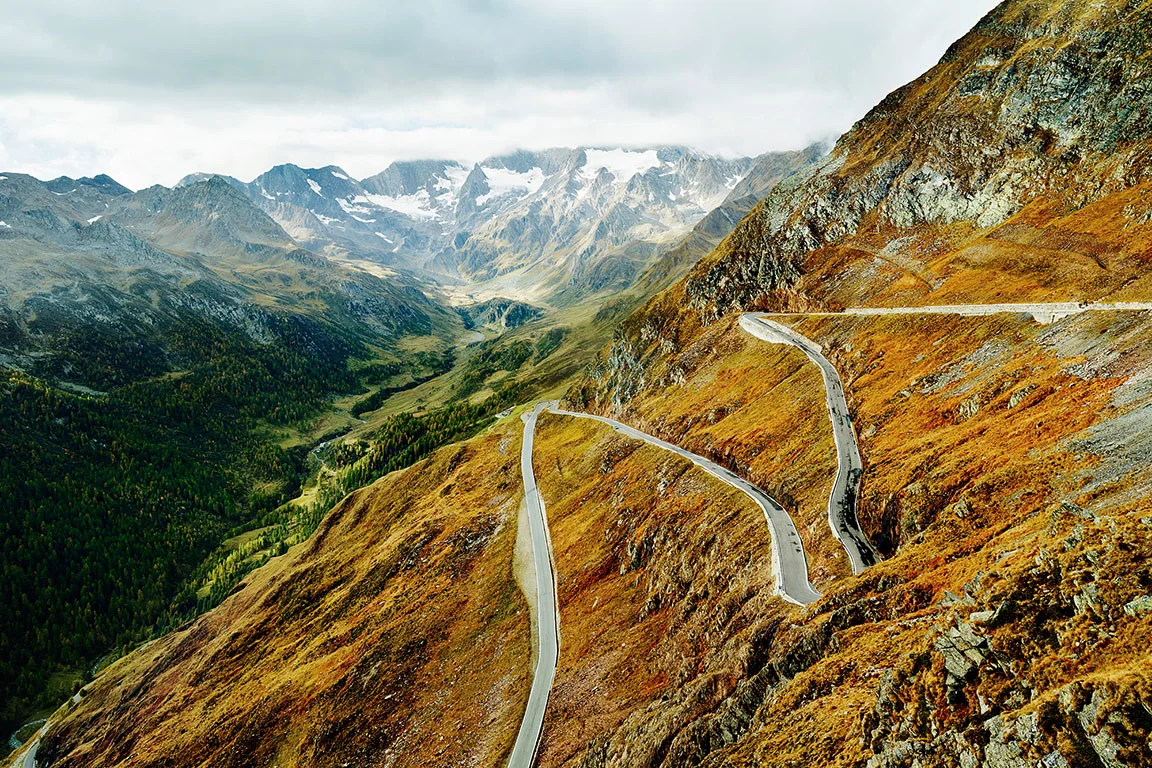
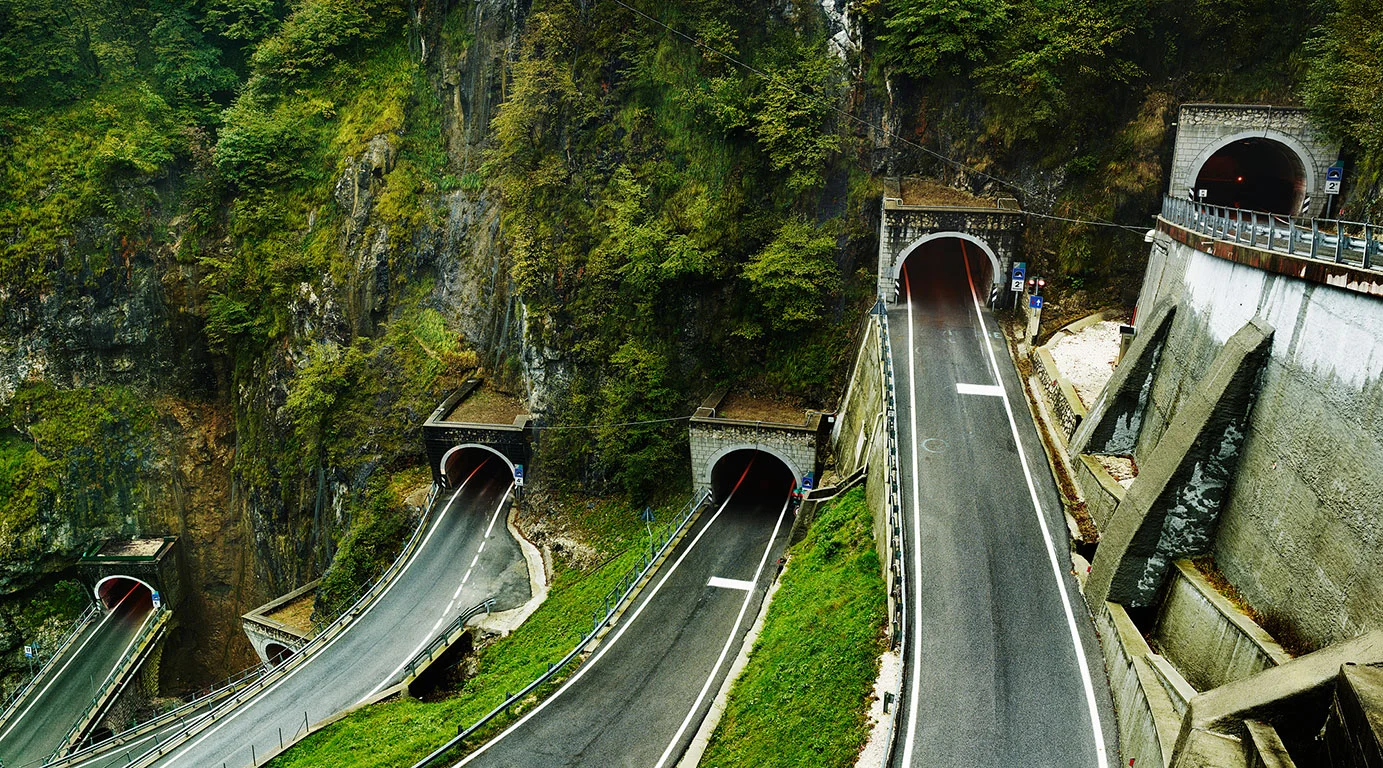
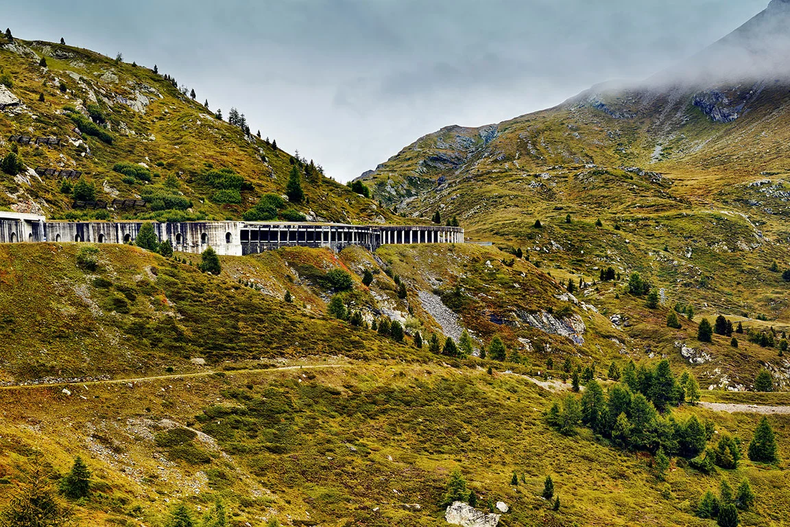
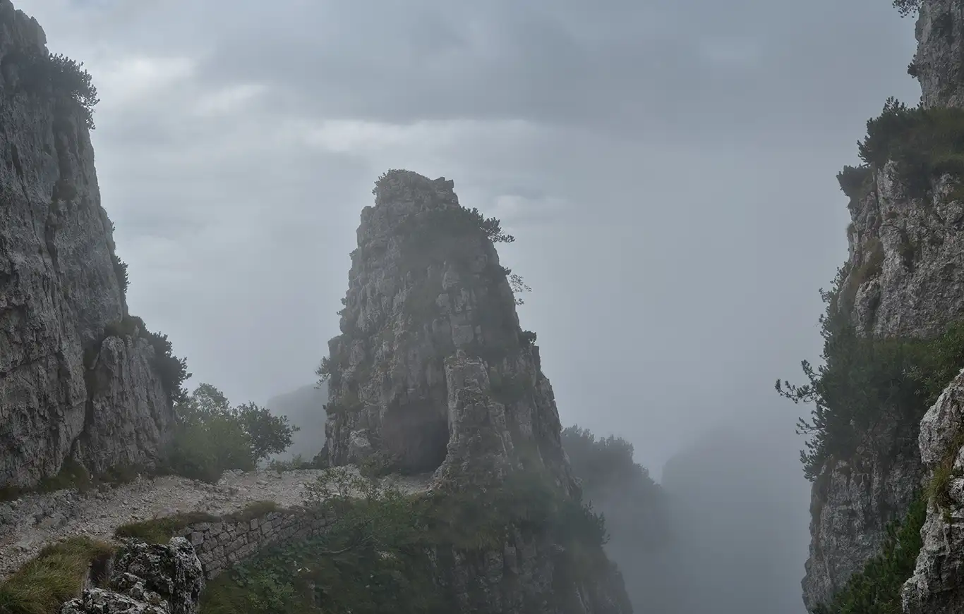
Strada delle 52 Gallerie, Italien
Die Militärstraße aus dem Ersten Weltkrieg versorgte die italienischen Stellungen am Monte Pasubio.
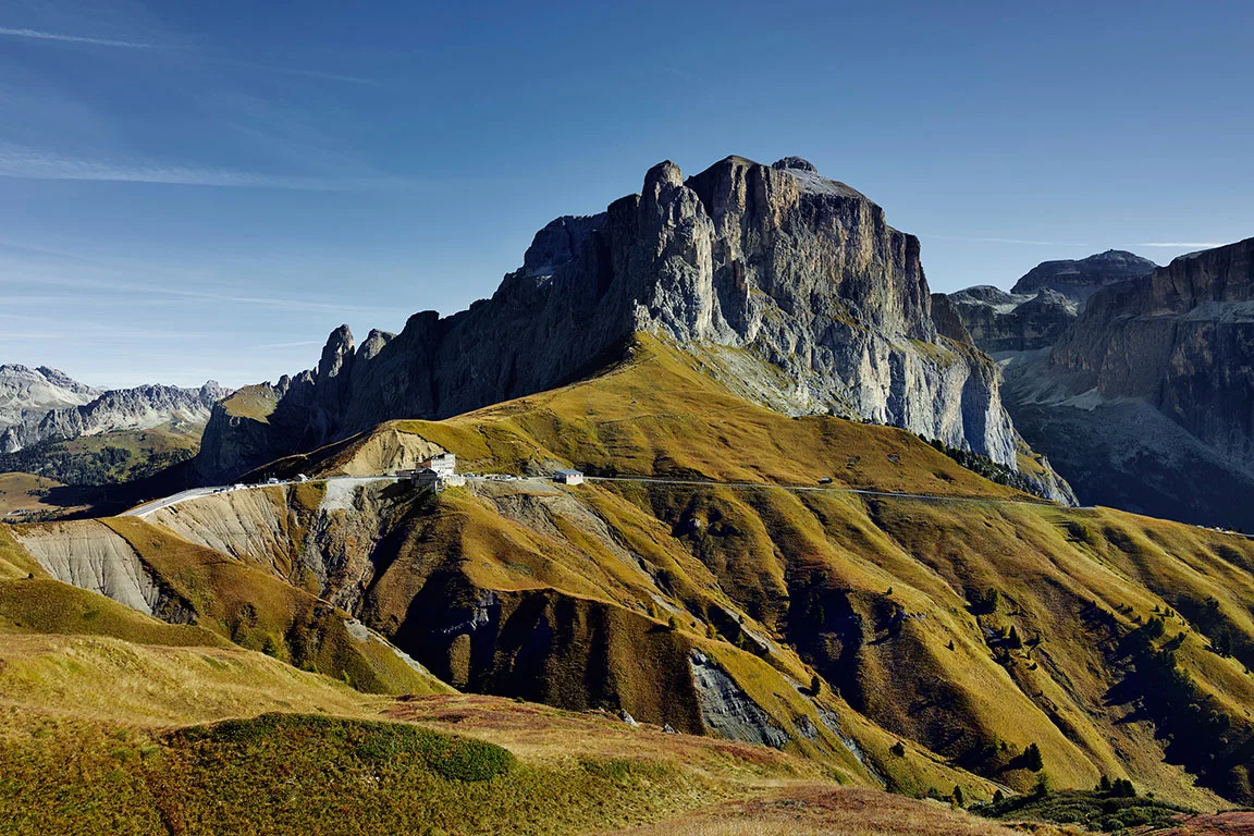
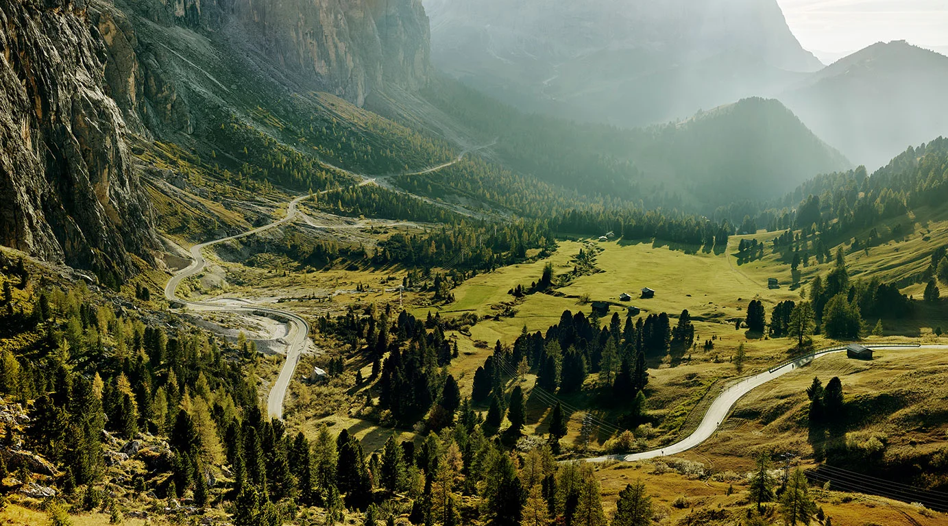
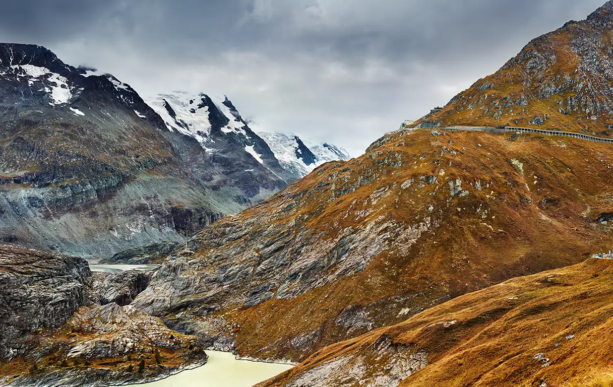
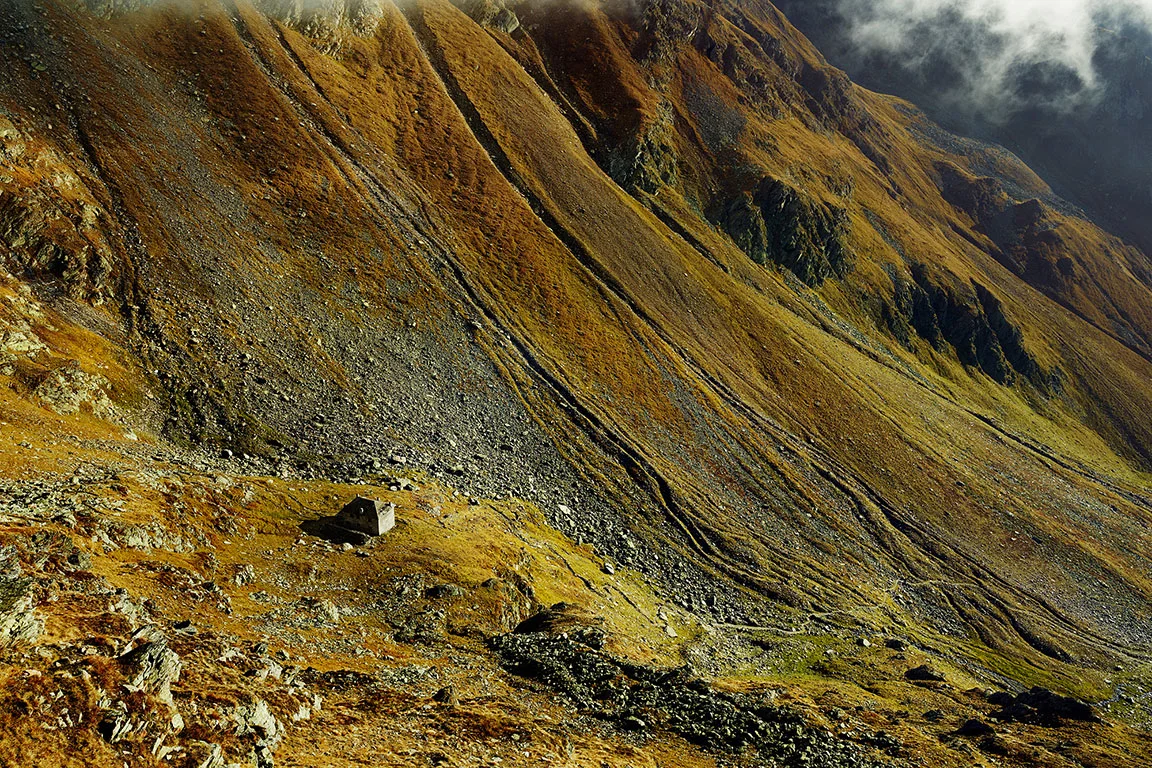
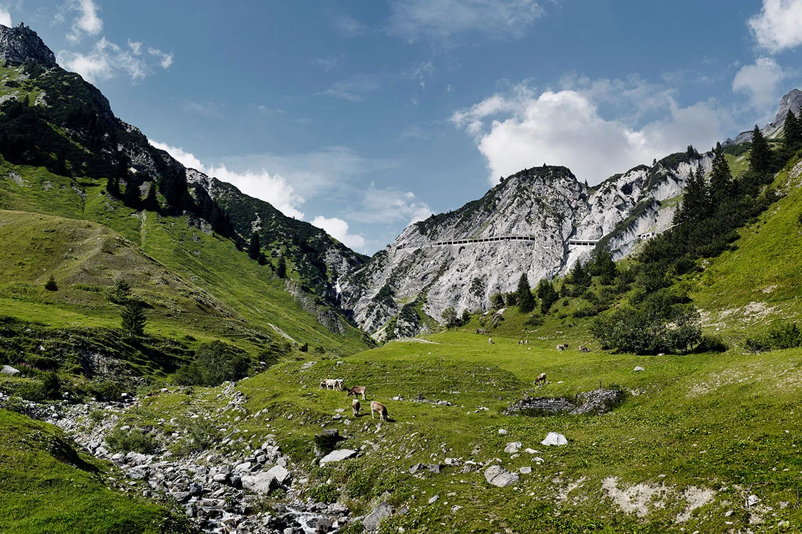
The Books
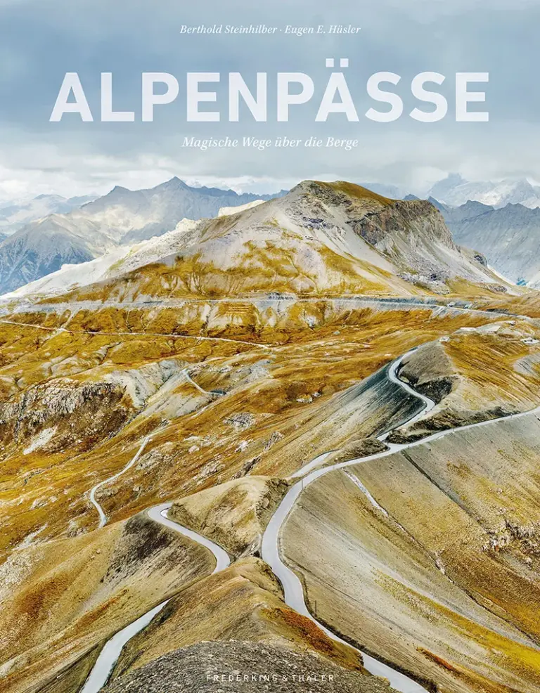
Alpenpässe
Texte von Eugen E. Hüsler
Buch über die faszinierenden Landschaften der Alpenpässe. Im zweiten Buch über Alpenpässe widmen Eugen Hüsler und ich uns neben den großen Pässen auch den weniger bekannten kleineren Übergängen und den vielen beeindruckenden Militärstraßen im Westen und Osten der Alpen.
Frederking & Thaler Verlag, München
2025
Großer Bildband im XXL Format, Hardcover in schönem Leinenumschlag
160 Fotografien, Sprache: Deutsch
Format 37,6 x 29,3 cm, 288 Seiten,
ISBN: 978-3-95416-373-1
98.- Euro
kostenloser Versand in Deutschland

Passbilder - Landschaften der Alpenpässe
Texte von Eugen E. Hüsler
Über alle Berge – Buch über die Landschaft der Alpenpässe. Die Überquerung der Alpen ist ein wichtiger Teil der Alpengeschichte. Sie reicht von einfachen Pfaden, Handelswegen aus der Bronzezeit, über Römerstraßen, schmalen Saumpfaden für beladene Pferde und Maultiere bis hin zu den ersten asphaltierten Passstraßen und mehrspurigen Autobahnen.
Frederking & Thaler Verlag, München
2015
Hardcover mit Schutzumschlag
160 Fotografien, Sprache: Deutsch
Format 26,8 x 28,9 cm, 240 Seiten,
ISBN: 978-3-95416-120-1
bei mir ausverkauft
Fine Art Prints
Selected images from this series are available as limited edition fine art prints. In various formats and finishes, each produced in a small edition. At bertholdsteinhilber.art you will also find motifs from other series.
A visit is worthwhile, beyond this series as well.
All other series
- Info
- Landscapes
- The Lightworks
- Portraits
- Projects
From here, you can navigate to all the other series.